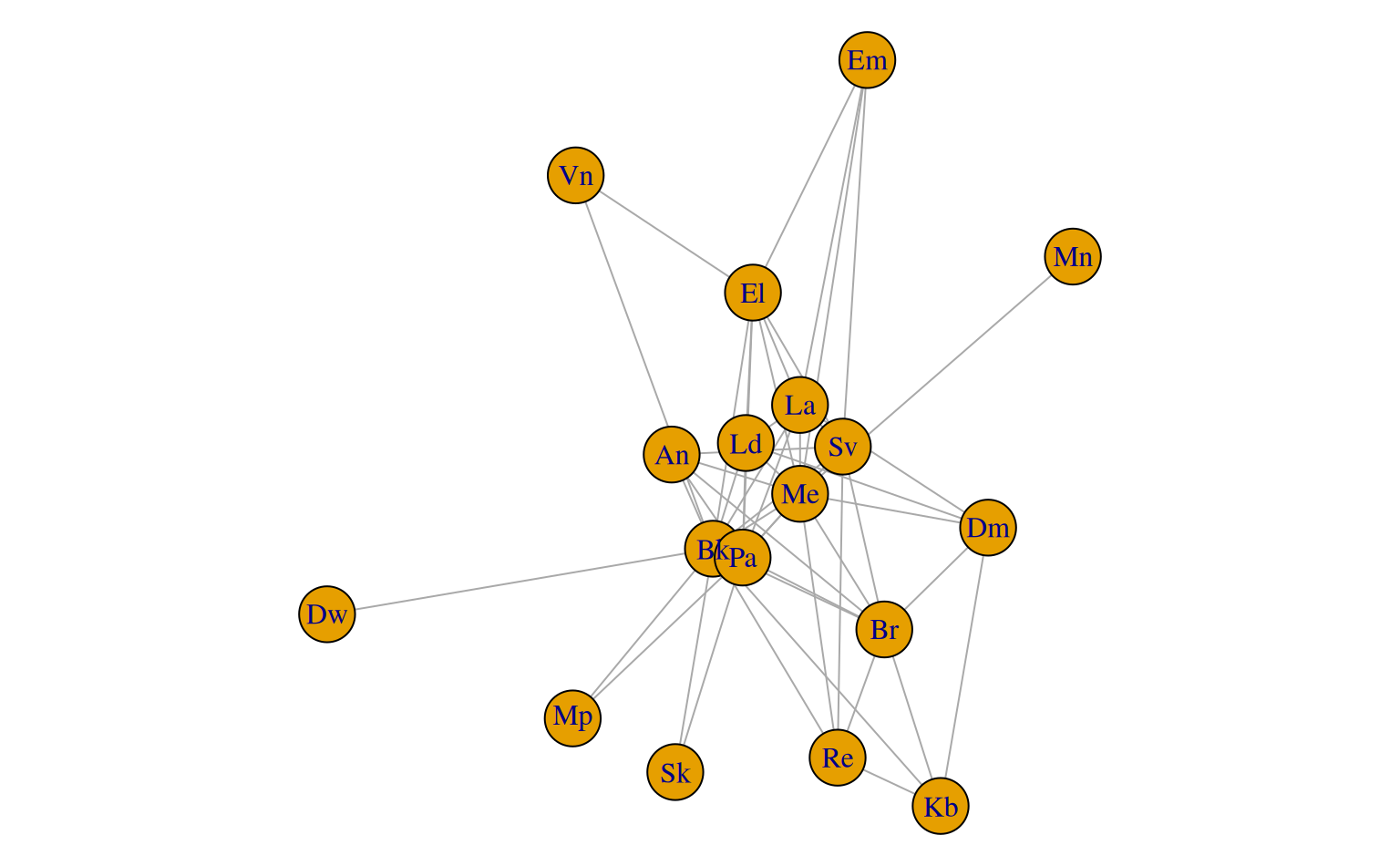
An adjacency matrix describing shared soil map boundary segments from the Soil Survey of Shawnee county, KS. This is table 5.2 from Hole and Campbell, 1985.
data(table5.2)Format
An object of class matrix (inherits from array) with 18 rows and 18 columns.
References
Hole, F.D. and J.B. Campbell. Soil Landscape Analysis. Rowman and Allanheld, 1985.
Examples
data("table5.2")
if(requireNamespace("igraph")) {
# note special incantation to get the "correct" graph structure
g <- igraph::graph_from_adjacency_matrix(table5.2, mode = 'upper', diag = FALSE, weighted = TRUE)
# visualize
op <- par(no.readonly = TRUE)
par(mar = c(0,0,0,0))
plot(g)
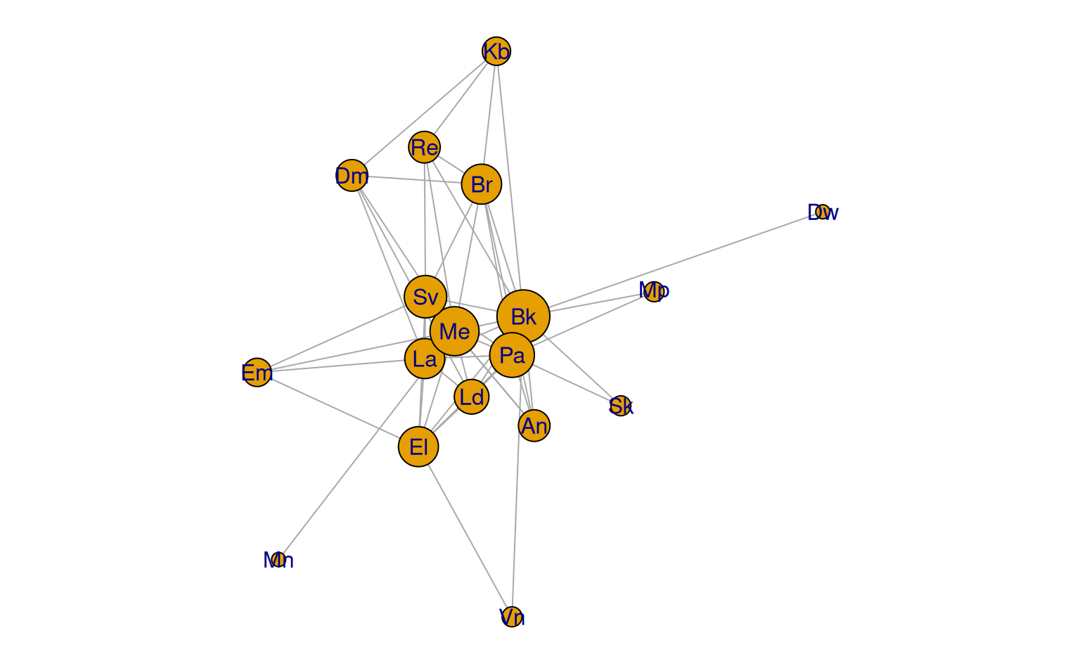
plot(g, vertex.size = sqrt(igraph::degree(g) * 25), vertex.label.family = 'sans')
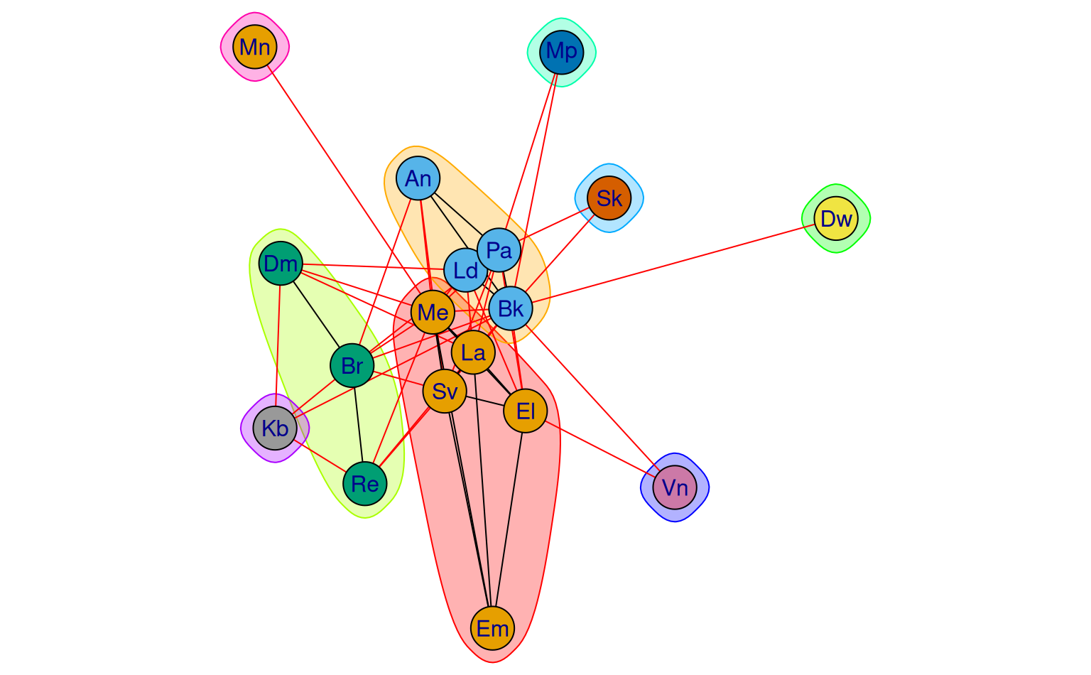
# find communities
cm <- igraph::cluster_walktrap(g)
plot(cm, g, vertex.label.family = 'sans')
par(op)
}